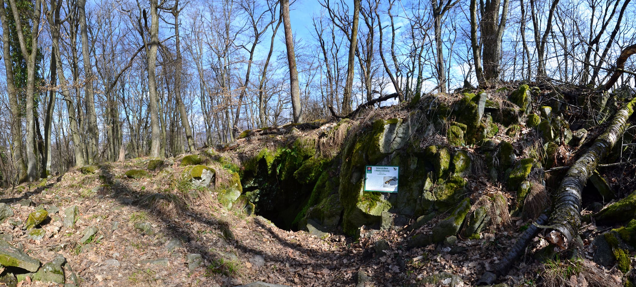


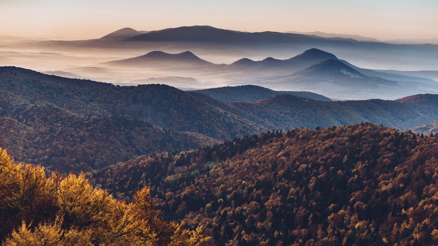
Protected area Minčol from Čergov It has a protection level of 5, with a protection level of 3 around the reserve. The National Nature Reserve extends across three cadastral areas and three districts: the Bardejov district – Livovská Huta, the Sabinov district – Brezovička, and the Stará Ľubovňa district – the village of Kyjov. The reserve was established to protect the typical Carpathian mountain flora, featuring elements of the Eastern Carpathians and the forest communities of the highest elevations of the Čergov Mountains.
Hiking in the heart of Čergov
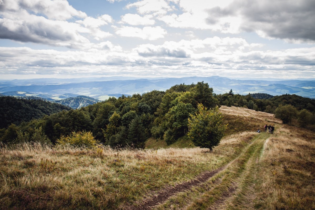
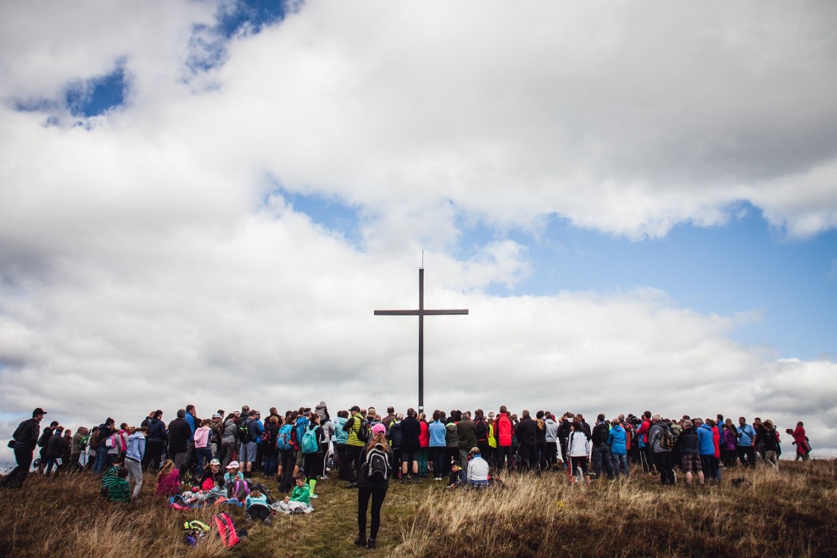
A hike to the highest point Čergova – Minčol, at an altitude of 1,157.2 metres above sea level, is a popular tourist destination where, every year, tourists and non-tourists from four districts – Stará Ľubovňa, Bardejov, Sabinov and Prešov – for an event known as the ‘Meeting of the Four Districts at Minčol’. With the exception of two more challenging steep sections, the route is relatively easy, as much of it follows a tarmac road. It is nine kilometres long and takes approximately three hours to complete. At the start of the route, it is worth taking a detour to the remains of the imposing Kamenický castle with a beautiful circular view.
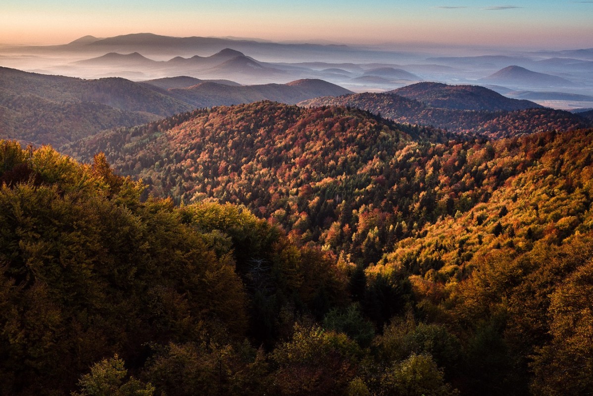
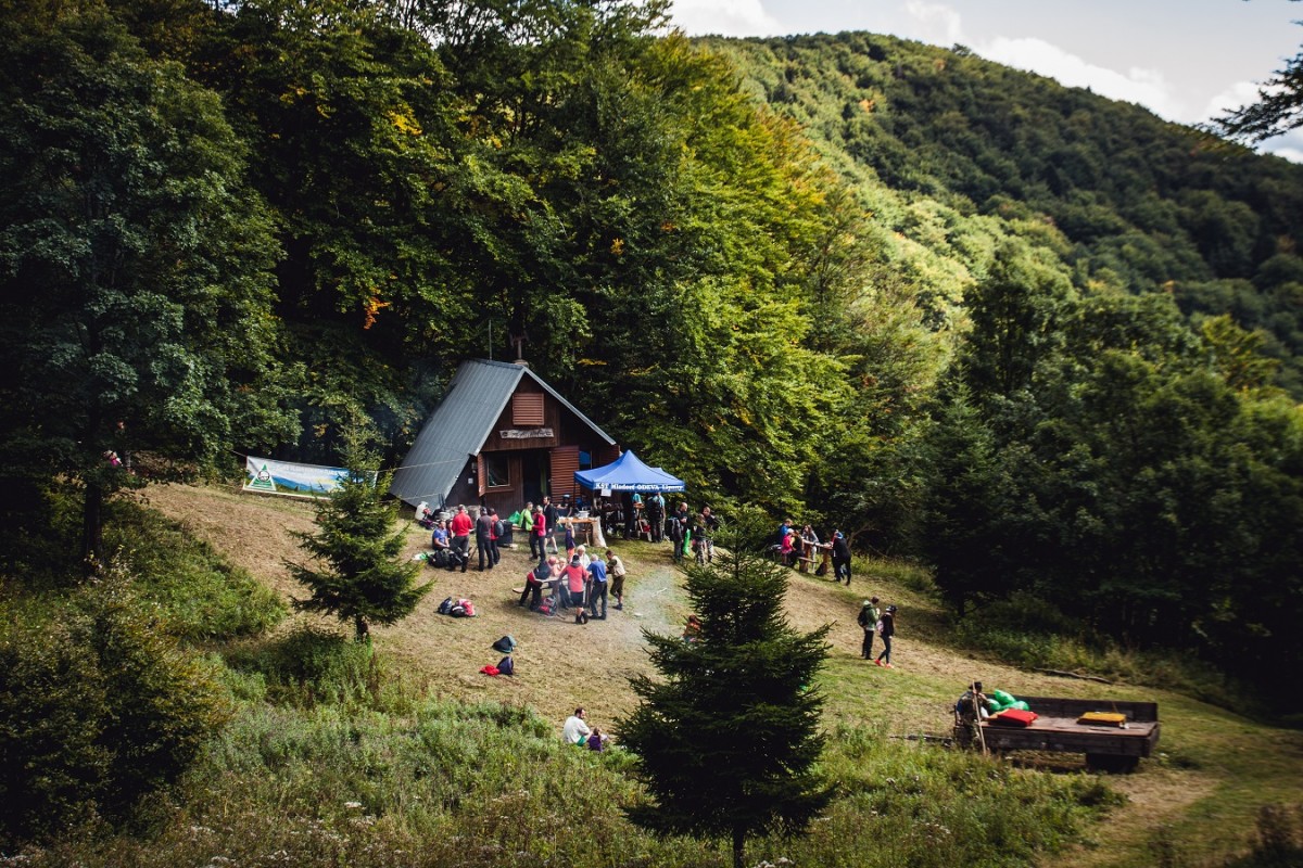
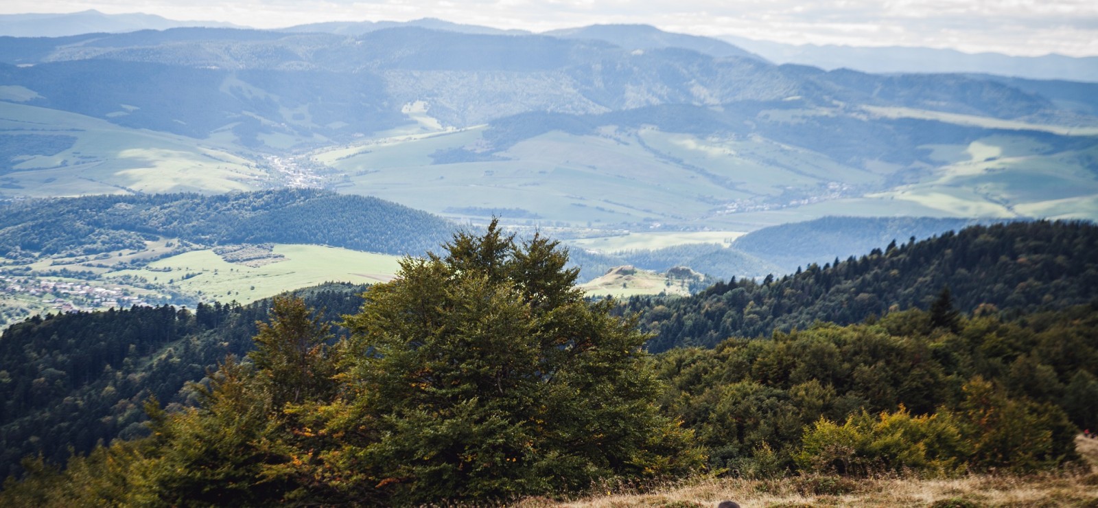
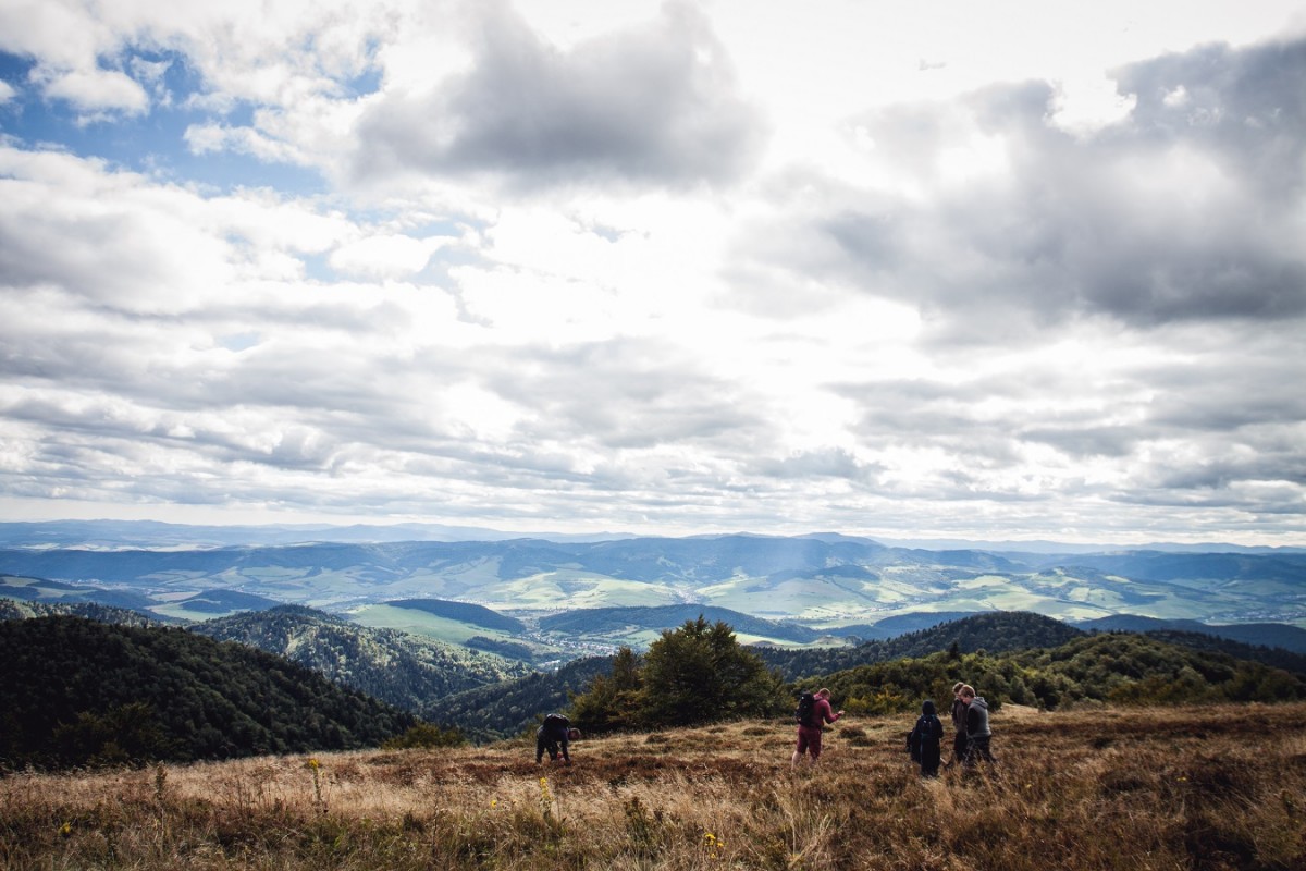
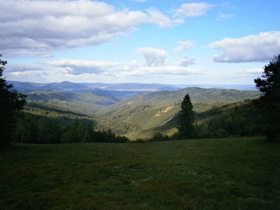
The route to Minčol Hill winds through lovely forests and offers some pleasant spots to rest. One of these is just beyond the village, near Kamenica Farm, where, amongst other things, you can buy homemade sheep’s milk products. Another rest spot is by the mountain hut below Minčol, above which there is a spring, but the bench at the summit, with its magnificent views, is certainly a good place to rest too. There is a very impressive view of Sokolia Rock towering above the valley, which is clearly visible throughout the entire walk. The panoramic views continue along the entire ridge as far as the summit of Minčol, from where Kamenický Castle can also be seen. From the summit, you can continue northwards to the villages of Obručné, Čirč or Bardejov, or take the ridge trail in the opposite direction towards the Čergov mountain hut.
Source of photographs: OOCR RŠ
Map
Gallery
Information
Bus services: Bus from Prešov towards Stará Ľubovňa (Kyjov – crossroads bus stop)
Rail transport: from Prešov to Pusté Pole via Lipany
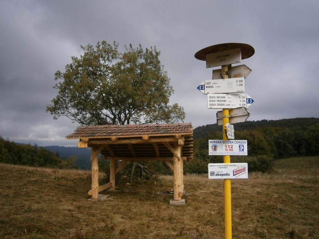
The blue trail starts at the Pusté Pole railway stop and follows a tarmac road to the village of Kyjov (673 m, 30 mins), then along the ridge above the Sokoľa Valley, or alternatively via the yellow trail from Šarišské Jastrabie. There is also a lovely walk from the village of Kamenica. For a quick ascent, you can also take the unmarked but easy-to-follow route from the village of Potoky. The ascent from the "Bardejov" side follows the yellow tourist trail from the village of Livovská Huta.