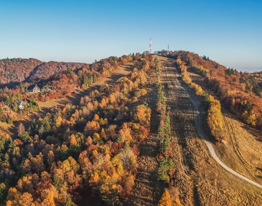


The Stavok Peak (Polish: Baranie) with its altitude of 752.4 m above sea level is the highest peak in the Svidník district. It is located on the territory of the Protected Landscape Area (PLA) of the Eastern Carpathians and is also a border hill between Slovakia and Poland. It can be found between the villages of Vyšná Pisaná, Šarbov and the Polish village of Olchowiec, cadastrally it belongs to the village of Vyšná Pisaná. Through this peak passes the long-distance European tourist route E3, which continues through the border zone to the Dukla Pass, where it leaves our territory and continues on to Poland. A prism and two overhead markers were originally set at the Stavok survey point, later a 5-storey measuring tower 22.67 m high was built and served until the end of the 1960s. An interesting feature of Stavok Hill is that there was one more, a military tower 26m high, built by the German army in 1943 during World War II. It is believed to have served as a strategic observation post. It collapsed in 1999 due to its age and because of heavy icing.
Today's tourist lookout tower has the shape of a triangular needle, three viewing platforms at a height of 5.75 m - 10.25 m - 14 m. From this lookout tower it is possible to enjoy the view not only of the Slovak part of the Low Beskydy Mountains, but also to the neighbouring Polish part. As the lookout tower is located on the place where the cruel battles took place during the Carpathian-Dukla operation, traces of these events can still be seen today. The entire border ridge around Stavko is interspersed with trench lines and bomb craters still visible today.
Update: The lookout tower is no longer accessible for safety reasons.
Map
Gallery