

MTB Alžbeta is a long-distance mountain cycle route marked with a registration number 023, which runs through a vast area Slanské hills. It links the northern part of the mountain range with its southern areas and runs all the way to the lake Greater Israel near the Slovak-Hungarian border. This route is primarily intended for experienced mountain bikers who are looking for long climbs, technical descents, forest tracks and day-long or multi-day trips.
Older tourist guides describe the entire main route as a route approximately 136 kilometres. Current records of the Prešov Self-Governing Region indicates a marked section within the region with a length of approximately 93 kilometres, whilst another section continues through the Košice Region towards Lake Izra. The discrepancy in the data is therefore likely to be due to differences in the demarcation of the entire historic main road and the sections currently recorded.
A route running mainly away from traffic
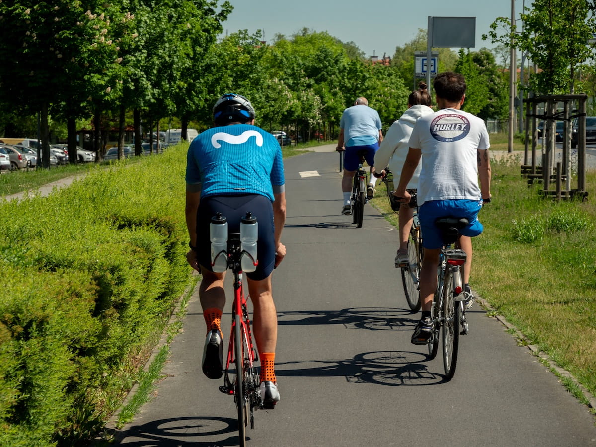
A major advantage of the Alžbeta MTB is its natural character. Approximately Route 90 % runs along forest and service roads, far from the hustle and bustle of motorised traffic. However, the surface changes significantly as you ride – cyclists will encounter tarmac, paved paths, gravel sections, forest tracks and more technically challenging paths. Current map data indicate that the majority of the recorded section consists of unpaved surfaces.
In the Prešov Region, the route runs from the Pavlovce area, continues through Pusté pole above Petrovce, and then passes through the municipalities of Hermanovce nad Topľou, Rudlov, Zámutov and Juskova Voľa. It then heads via the Herlianske sedlo pass, the area around Herľany and the Dargovský priesmyk pass to Lake Veľká Izra, where the southern section of the main route is located.
A challenging route for experienced cyclists
MTB Alžbeta is one of very challenging to extreme mountain bike trails. The route is officially classified as EXPERT, with the total ascent and descent on the recorded section exceeding 2,300 metres in altitude. Cyclists must be prepared for steep climbs, long descents, uneven surfaces, mud, loose stones, tree roots and sections where it may be necessary to push the bike.
The section in question is considered to be particularly challenging Hermanovce nad Topľou – Javorová – Rudlov. The steep climb and technical terrain are challenging in both directions. Less experienced cyclists should be prepared to push their bikes or plan a detour via easier routes in advance.
The route as a whole It is not suitable for families with young children, beginners or leisure cyclists with no experience of mountain terrain. However, some shorter sections can be tackled on their own as day trips. When choosing a section, you should take into account the surface, the elevation gain, the options for returning, and the current condition of the forest tracks.
Signage and wayfinding
The Alžbeta MTB is labelled the red cycle route sign and the registration number 023. The route was marked out in 2007 and directional signs have been preserved in several places. However, the quality of the painted markings may not be consistent along the entire route, so it is not advisable to rely solely on the signs in the field.
Before setting off, it is advisable to download an offline map or a GPX track, or to bring a paper map. Mobile signal can be weak in the forests of the Slanské vrchy, and the correct direction may not always be clear at forest road junctions. Following logging, windstorms or heavy rainfall, the route may feature potholes, mud, fallen trees or temporary diversions.
Source: OOCR RŠ
Source of photographs: pexels.com
Information
The Alžbeta MTB route is marked with a red cycle tourism sign and the registration number 023.
The route was marked out in 2007 and directional signs have been preserved in several places. However, the quality of the painted markings may not be consistent along the entire route, so it is not advisable to rely solely on the signs in the field. Before setting off, it is advisable to download an offline map or a GPX track, or to bring a paper map. Mobile signal can be weaker in the forests of the Slanské vrchy, and the correct direction may not always be clear at forest road junctions.
Following logging, windstorms or heavy rain, potholes, mud, fallen trees or temporary diversions may appear along the route.