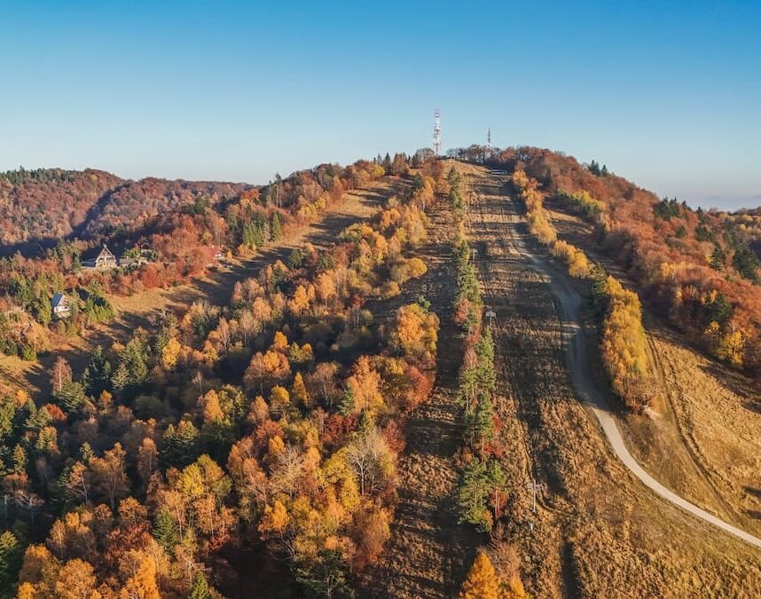
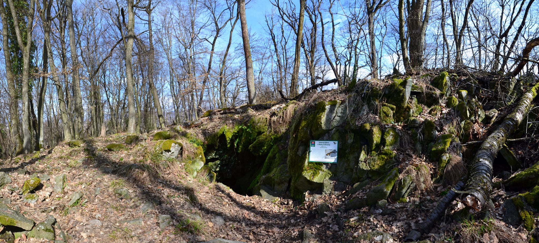
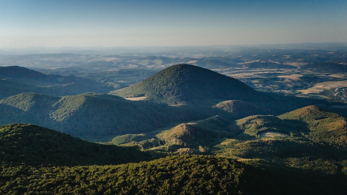
Šimonka At an altitude of 1,092 metres, it is the highest hill Slanské hills and one of the most significant natural sites in the Šariš region. It is situated in the north-eastern part of the mountain range, on the border between the districts of Prešov and Vranov nad Topľou. Thanks to its preserved primeval forests, volcanic history and views of the surrounding countryside, it is a popular tourist destination in eastern Slovakia all year round.
Volcanic origin
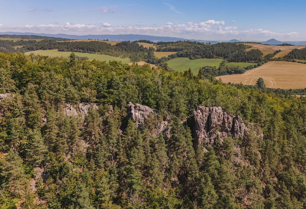
Slanské vrchy They are a mountain range of volcanic origin, and their relief was shaped by ancient volcanic activity. On Šimonka and in the surrounding area, there are andesite rocks, boulder-strewn slopes and scree. The nearby village of Zlatá Baňa lies in a basin within the Zlatá Baňa andesite stratovolcano, which is the most massive in the northern part of the mountain range. Landslides and rugged terrain are also characteristic of the area’s geological structure.
Šimonka National Nature Reserve
The summit and sub-summit areas of Šimonka have been protected as a national nature reserve since 1950. The reserve protects the remnants of primeval forest that have been preserved here in their original form. Climax beech forests predominate, supplemented on boulder-strewn and scree slopes by sycamore and narrow-leaved ash. Rare species of flora include the alpine clematis, a mountain plant whose occurrence in this area is unique.
The reserve forms part of the Slanské vrchy Site of Community Importance and Special Protection Area, which are part of the European Natura 2000 network. In 2022, it was spatially extended by the Pralesy Slovenska – Šimonka Nature Reserve, which protects further areas of preserved primeval forest. Movement within the protected area is only permitted along marked footpaths.
The summit and the views
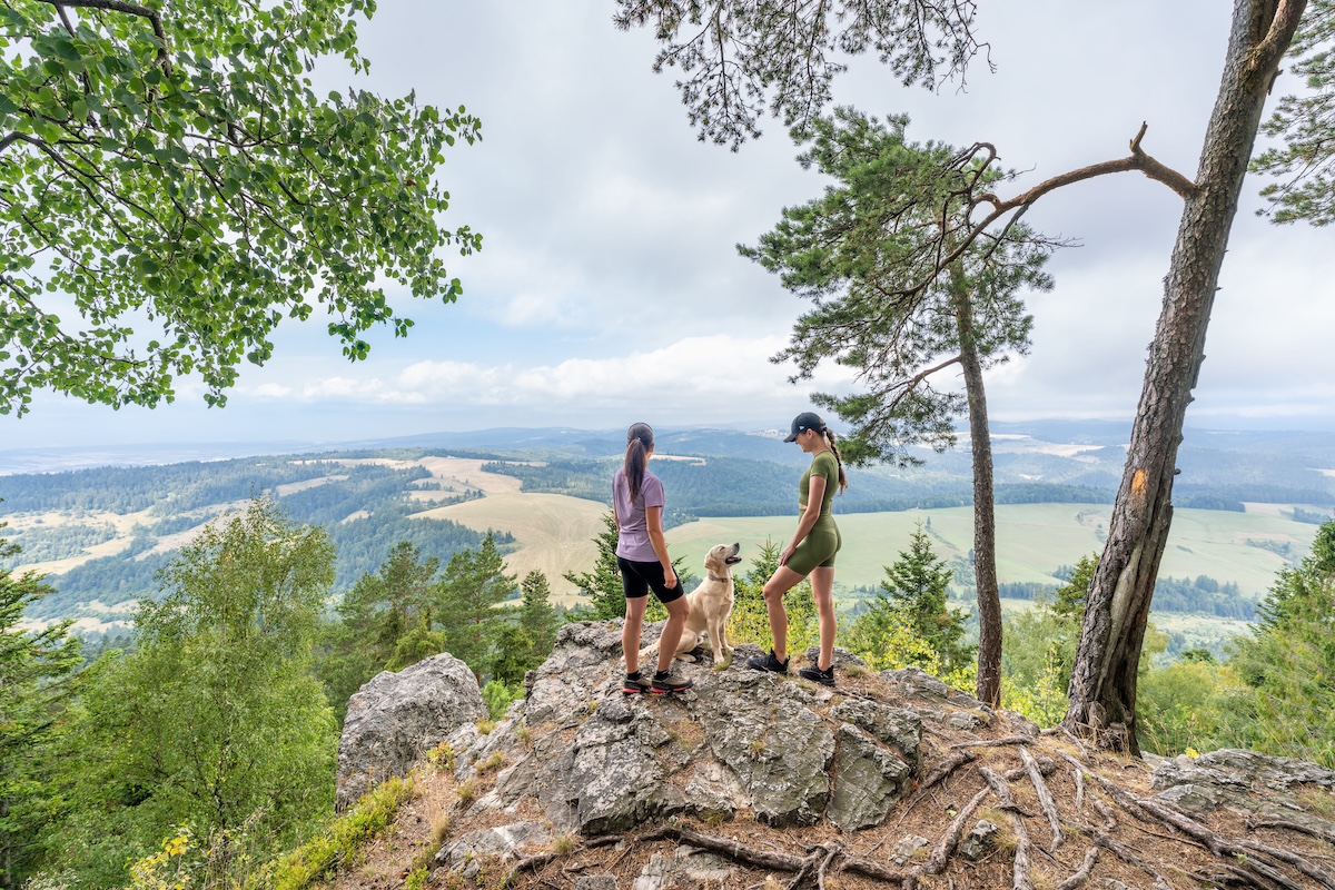
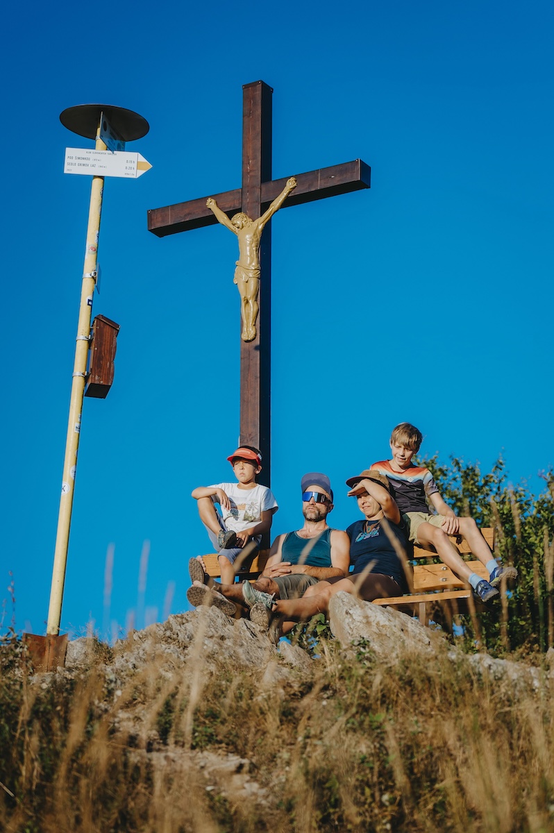
The summit of Šimonka is largely wooded. In an area accessible to walkers, there is a small treeless patch with an andesite outcrop, which serves as a viewing point. The view looks out over the East Slovak Lowlands and the surrounding ridges of the Slanské vrchy. In favourable conditions, the more distant panorama of the High Tatras and Kráľová hoľa is also visible. Visibility is usually best on clear autumn and winter days.
Hiking trails
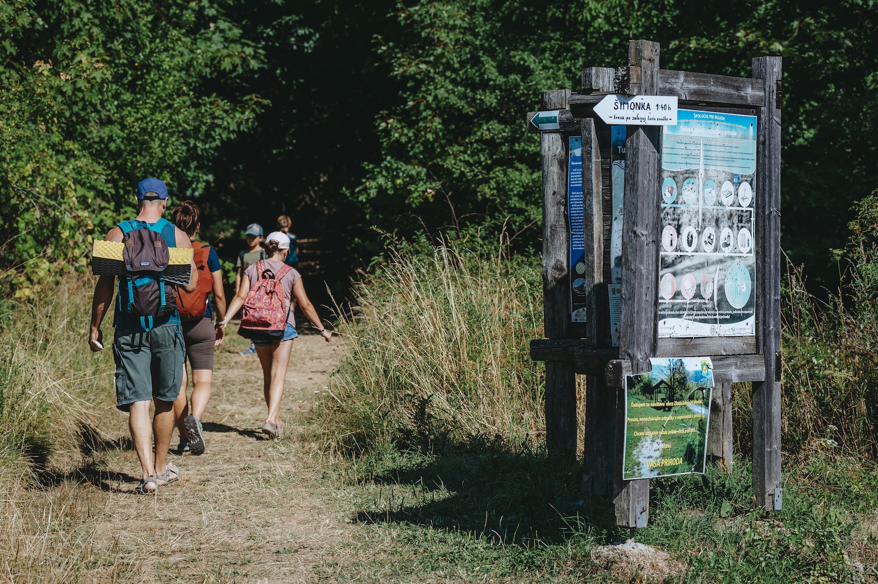
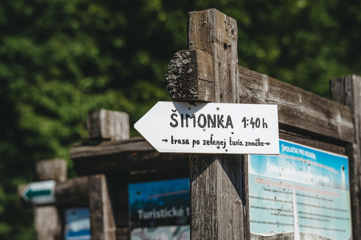
There are several signposted hiking trails leading to the summit of Šimonka from various directions:
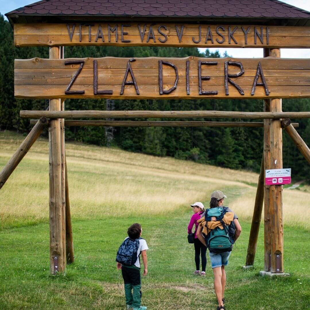
- Gold Mine – the most popular and relatively easy hike. The circular route is approximately 8.6 km long with an elevation gain of around 450 metres and takes roughly 3 hours. It is also suitable for families with children.
- Zámutov – access from the Vranov side of the mountain range.
- Hermanovce nad Topľou – a longer and more challenging route via Ivanov Hill, covering a distance of almost 20 km.
- Bystré – a ridge route from Zlatá Baňa via Šimonka to Bystré, connecting to the railway line.
A yellow-marked hiking trail leads through the national nature reserve to the summit. As well as hiking, the area around Šimonka also offers dozens of kilometres of cycle routes.
Places of interest in the surrounding area
There are several other attractions near Šimonka. In Zlatá Baňa, there is wooden megaphone, a unique feature in Central Europe that amplifies the sounds of the forest. Nearby are Slovak opal mines, a world-famous site for precious opal with a long history of mining. In the past, timber was transported from the forests below Šimonka via the narrow-gauge Delnianska Forest Railway, which has now been converted into a cycle route Bicycle Railroad.
Basic information
- Altitude: 1,092 metres above sea level.
- Mountain range: Slanské vrchy
- Protection of the area: Šimonka National Nature Reserve (since 1950), Natura 2000, ‘Pralesy Slovenska – Šimonka’ Nature Reserve
- Difficulty of the climb: easy to challenging, depending on the route chosen
- Accessibility: all year round
- Input: free of charge
Šimonka is exceptional for its combination of the mountain range’s highest peak, preserved beech primeval forests and the landscape’s volcanic history. It is one of the most significant natural landmarks in the Šariš region.
Source: OOCR RŠ
Source of photographs: OOCR RŠ
Map
Gallery


Information
At an altitude of 1,092 metres, Šimonka is the highest peak in the Slanské vrchy range. It lies in the north-eastern part of the range and is one of the most significant natural landmarks in the Šariš region.
The hill is of volcanic origin and its summit areas have been protected as a national nature reserve since 1950. Remnants of a beech primeval forest and rare plant species have been preserved here. The area forms part of the Natura 2000 network.
From the viewpoint at the summit, there is a view of the Eastern Slovak Lowlands and, on a clear day, the High Tatras. The most common route up Šimonka is from Zlatá Baňa; other routes lead from Zámutov, Hermanovce nad Topľou and Bystré.