
On the northern slope of the hill Minaj is home to one of the lesser-known natural sites in the Bachureň Mountains – a pseudokarst Parkáň Gorge, also known as Zloskalka. It lies off the marked hiking trails and, thanks to its remote location, retains its wild and natural character.
A rocky gorge in the forest
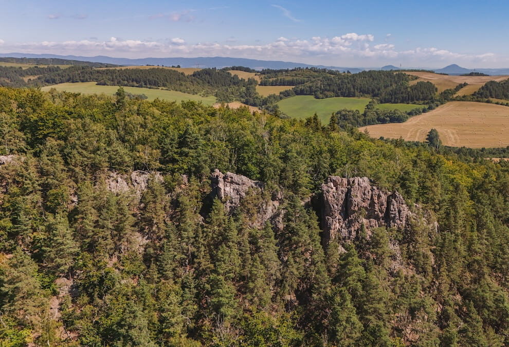
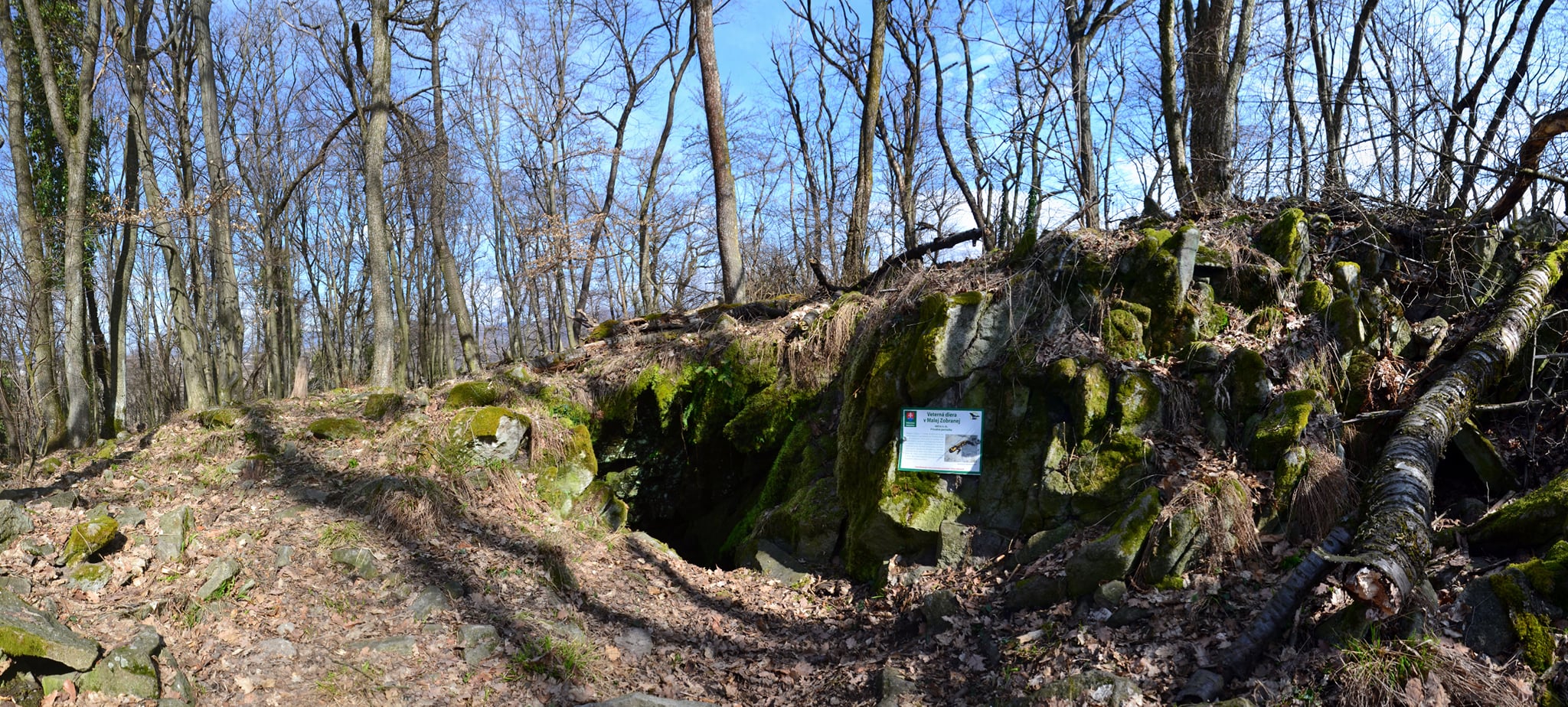
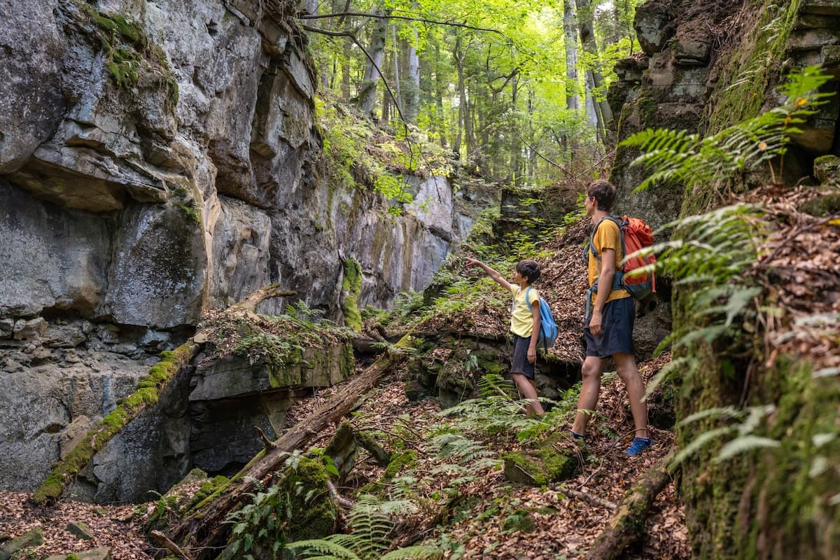
Parkaň forms a narrow gorge approximately 300 metres long, whose rock faces reach heights of up to ten metres in places. The sandstone and conglomerate rock formations, shaped by erosion, take on various bizarre shapes and, in places, form overhangs or small rock cavities.
The character of the area is enhanced by dense vegetation, which in places resembles a primeval forest. Rock faces, fallen tree trunks, moss and lush greenery create an environment that feels completely different from ordinary hiking trails.
Passing through the gorge
You can walk through the gorge along an unmarked path right at the bottom of it. The second option is to follow the well-trodden path along the edge of the rock faces, from where there are views into the gorge. Its character changes as you walk through it – the middle section is gentler, whilst the more challenging sections are mainly towards the end.
Towards the bottom, the gorge splits and continues as a smaller valley. You can walk further along the valley floor through the forest, although the northern edge is impassable due to vertical rock faces approximately seven metres high.
A place for experienced hikers
Parkaň is not a typical tourist destination with a well-maintained footpath. However, it is precisely its wildness that attracts visitors seeking lesser-known and more adventurous spots. The hike requires extra caution and experience of walking in rough terrain.
The area features fresh rockfalls, unstable scree, hidden depressions and small caves. Furthermore, the rock faces are subject to erosion and rocks may come loose. The gorge is therefore not suitable for a normal, easy walk, and visitors should be prepared for the natural risks associated with moving through rocky terrain.
Source: OOCR RŠ
Source of photographs: OOCR RŠ
Map
Information
Access: The gorge is situated off the marked hiking trails on the northern slope of Mindžová. Unmarked forest paths and well-trodden trails lead to the site.
Route: The gorge is approximately 300 metres long. The route leads in places directly along the floor of the gorge, or along its edge.
Terrain: Unmaintained and, in places, challenging, with rocks, scree, tree roots and steeper sections. The terrain can be very slippery after rain.
Warning: There is a risk of rockfall in the area, and there are hidden hollows and caves. The route is only suitable for experienced walkers, who do so at their own risk.