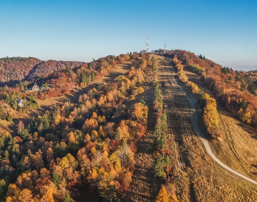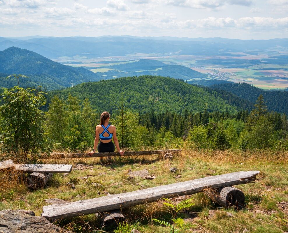

Spruce wood At an altitude of 1,200 metres, it is the highest peak in the Branisko mountain range. It is situated in the northern part of the range, on the main ridge between the Branisko Saddle and Kravcová Hill, above the villages of Vyšný Slavkov and Poľanovce. Thanks to its well-marked trails and varied woodland scenery, it is a popular destination for walkers at any time of year.
The Branisko Mountains
Branisko is a distinct mountain range in eastern Slovakia, forming a natural boundary between the historical regions of Šariš and Spiš. The Chvalaboh Pass divides it into two parts: the more massive northern Smrekovica and the southern Sľubica, with its peak of the same name (1,129 m above sea level). The northern part of the range is composed mainly of migmatites and granitoids. Other high peaks in the vicinity of Smrekovica include Patria (1,170 m above sea level), Nad Bučom and Kravcová.
Nature at Smrekovica
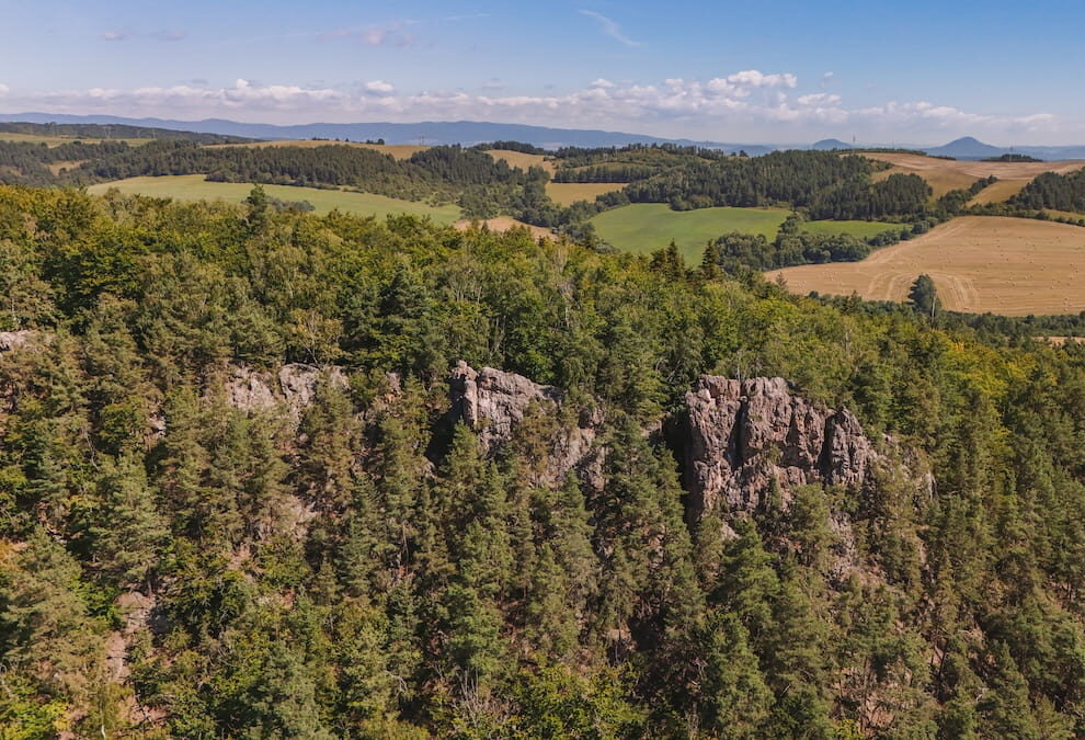
The slopes of Smrekovica are covered in forests, the composition of which changes with altitude. Up to around 1,050 metres, there is a mixed forest of beech and fir, supplemented by oak, lime and pine. At higher altitudes, natural spruce forest predominates, from which the hill presumably derives its name.
The summit and the views
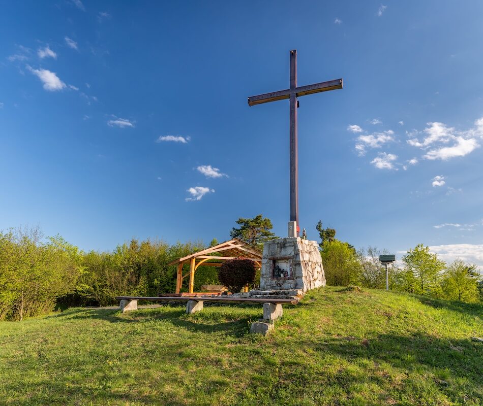
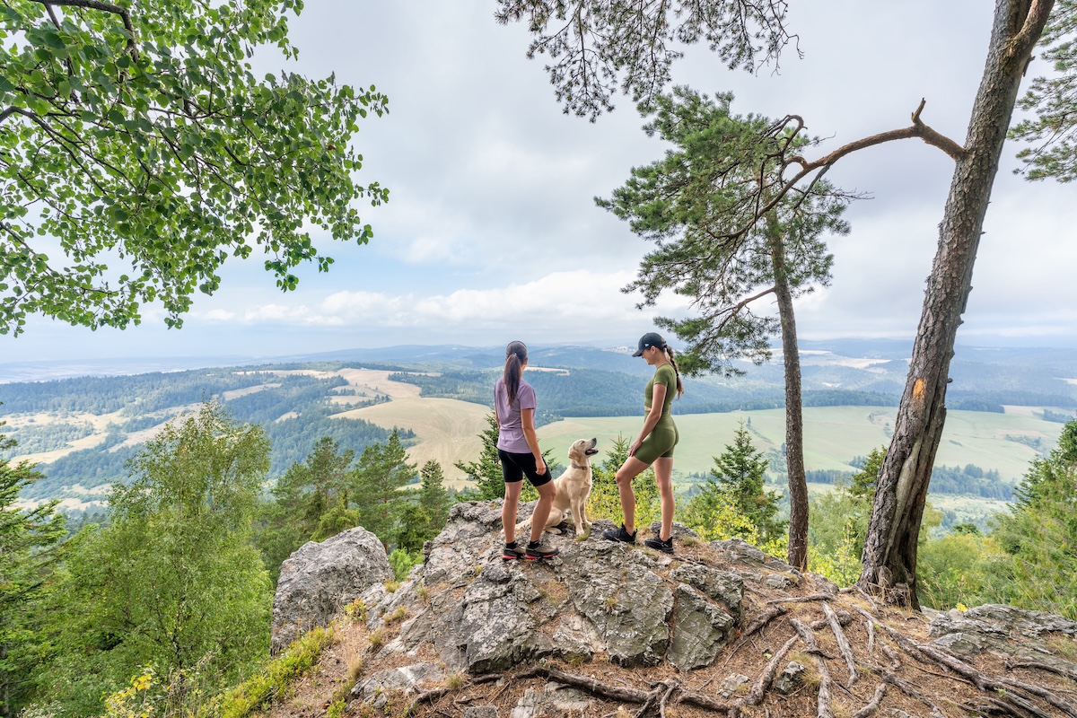
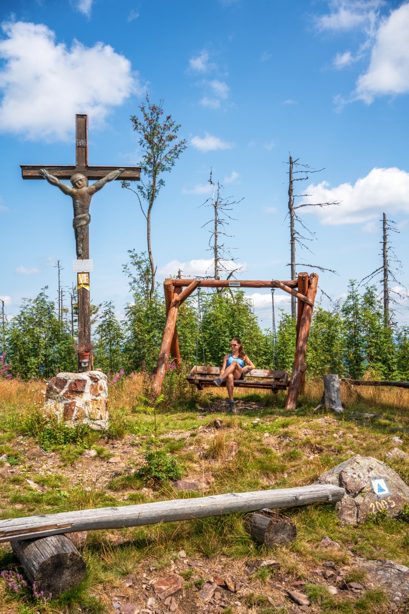
The summit of Smrekovice is partly wooded. The view opens out mainly onto the nearby Patria massif and, in the distance, the Volovské vrchy.
Hiking trails
There are several signposted routes leading to Smrekovica:
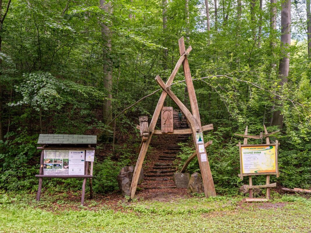
- From Vyšný Slavkov – follow the yellow markings across extensive meadows, over the pass above Hejdov and to the Zelená skala viewpoint. The route is approximately 5.7 km long and takes around 2 hours and 20 minutes.
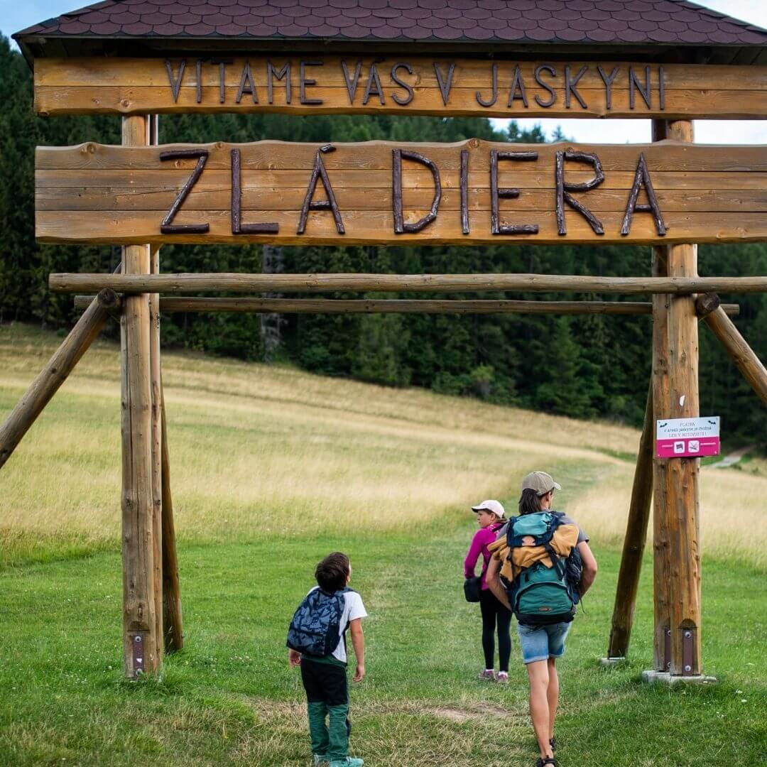
- From the Branisko Pass – a ridge walk that can be combined with a visit to the natural wonder known as Diablova diera.
- Along the ridge via Kravcová – Follow the yellow markings along the Smrekovice ridge, with the option of descending via Veľká skala back to Vyšný Slavkov. The Biela voda spring is also located along the route.
In the surrounding area
Near Smrekovice lies The Devil's Hole, a rare example of a river splitting into two branches, a viewpoint Green Rock, Lačnovský Canyon or the Rajtopíky Nature Reserve.
Source: OOCR RŠ
Source of photographs: OOCR RŠ
Map
Gallery

Information
At 1,200 metres, Smrekovica is the highest peak in the Branisko Mountains. It lies in the northern part of the range, above the villages of Vyšný Slavkov and Poľanovce, on the border between the Šariš and Spiš regions.
The lower slopes are covered in beech and fir forests, whilst natural spruce forests predominate at higher altitudes. The partially wooded summit offers views of the Patria massif and the Volovské vrchy.
The most popular route leads from Vyšný Slavkov along the yellow trail via Zelená skala; the route is approximately 5.7 km long. The summit can also be reached from the Branisko Pass.