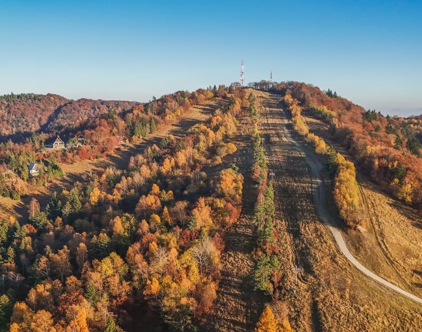


Southwest above the town of Bardejov at an altitude of 487 m above sea level is the well-known local part of Mihalov. The first reports about the settlement of Bardejov Mihalov under the German name Michelohaw meaning Michal's Poruba appear in the 15th century. The settlement was founded by the settlers of the right of pledge together with the first sholtys Michal. The Slovak name was derived from the dialect form of the name Michal. The first mentions of the name Bardejovský Michalov date back to the period of Hungarianisation. On the contemporary signs marking horse carriages, the settlement was called Bartfa Michalov. Today's form of the name Bardejov part of Mihalov was created by the association of the village with the town of Bardejov.
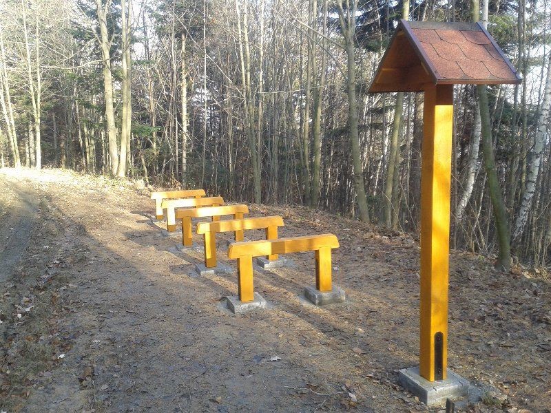
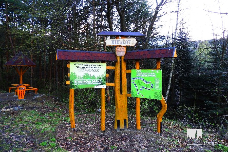
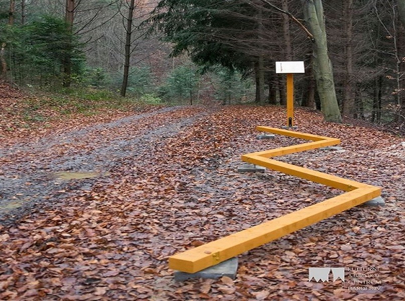
And in this part you will find almost 3 km long hiking and relaxation trail “Oxygen path Mihalovo”. The path has 19 restored stops, which complement the elements for exercise. There is also a gazebo with a capacity of 20 people to sit under the canopy and 10 people by the fireplace. The path also includes 2 information stands and a rest area with seating at 3 tables.
Map
Gallery