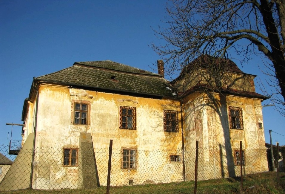

Lipovec Castle is situated in the western part Slanské hills on a wooded, steep hill known locally as Varhoška.
The castle was the administrative centre of the Lipovec estate, which already existed in 1229. The first written reference dates from 1282, where it appears under the name Sharp Stone. In 1543 the castle was conquered and damaged. Ambróz Kecer of the Aba family, its owner, also perished in its defence. Subsequently, the castle was repaired by his son, but in 1567 it is already mentioned as demolished. It was completely destroyed by the followers of Jan Zápolský in 1591.
The appearance of the castle
Lipovec Castle is about 35 metres long and 8 to 15 metres wide. The lower belt of the fortification protected the castle only from three sides, as the northern slope from the stream is very steep. The castle is surrounded by a lower wall measuring about 110 m and 60 m.
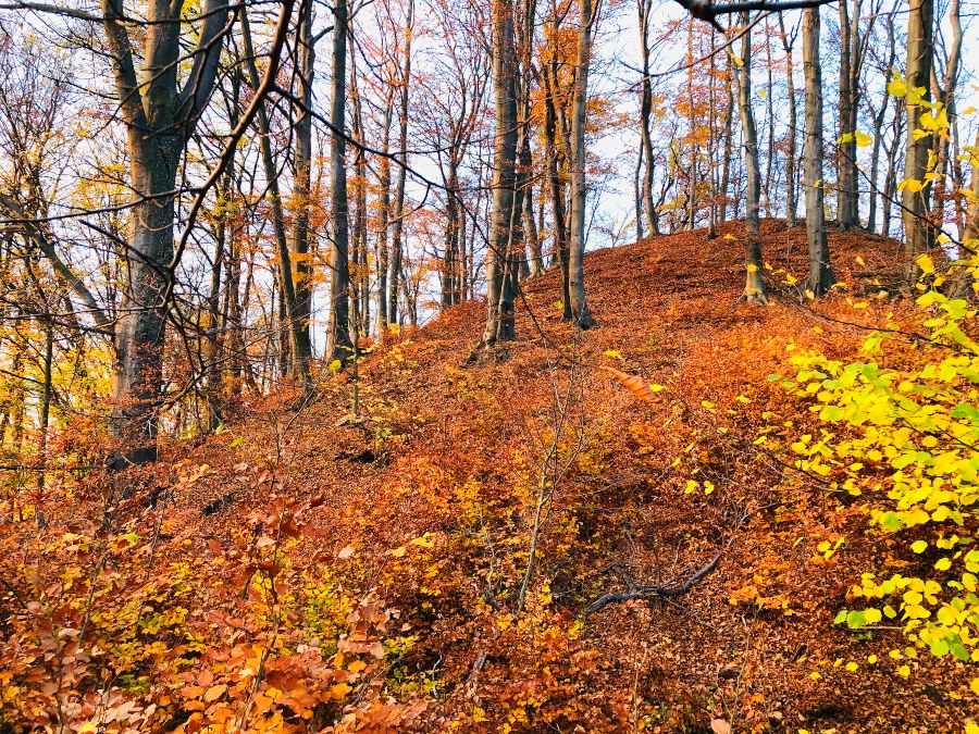
At the top of the hill is a striking circular hollow. A defensive tower connected to the castle bridge probably stood on the top of the hill and protected the Lipovec castle from the eastern side. It can also be seen that there used to be individual courtyards, a castle moat with an outer rampart that protected the castle from three sides.
Lipovec Castle is a part of Šariš Castle Road
Source: OOCR RŠ
Source of photographs: OOCR RŠ
Map
Information
The hill on which the castle once stood is situated approximately 1.3 km north-west of the village of Mudrovce.
Getting to the place: The path to the castle is not signposted. Cross the bridge over the Kostoliansky stream, head towards the cemetery in Mudrovce and continue on foot along the forest track towards Makovica. The path leads to a training centre, where you can also park. After about 300 metres along the forest track, you’ll be walking alongside the Kostoliansky Stream, with the ruins of the castle hill towering above it. Head down to the stream, cross it and enter the saddle. You’ll reach the top via a steep climb.
Estimated route length: A 2 km walk, approx. 40 mins
Difficulty: Suitable for all age groups. You should expect a more challenging climb.